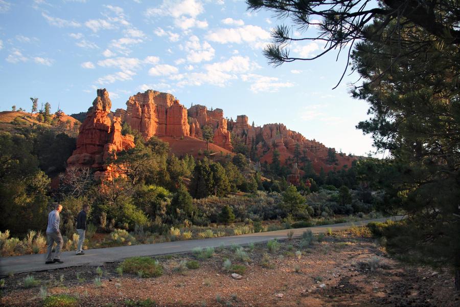
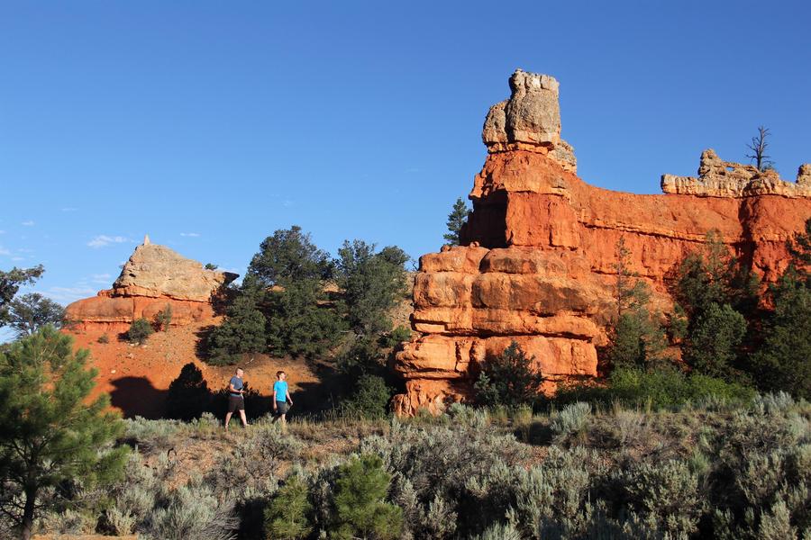
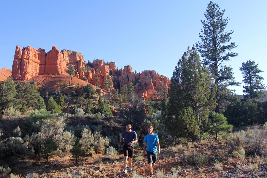
Red Canyon Bicycle Trail
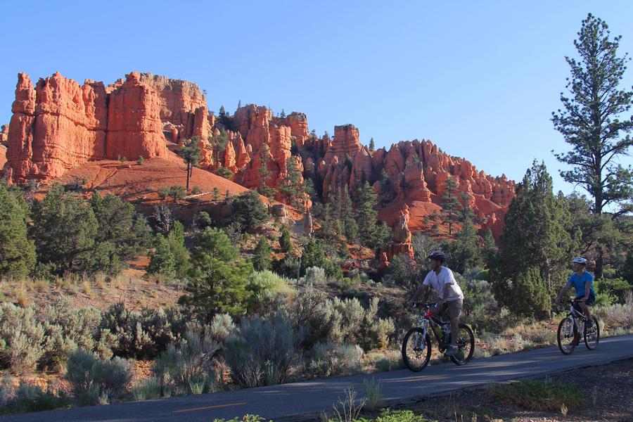
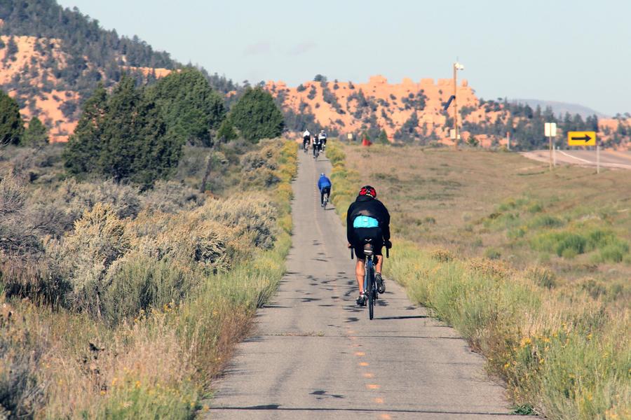
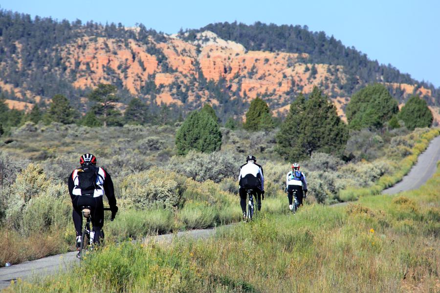
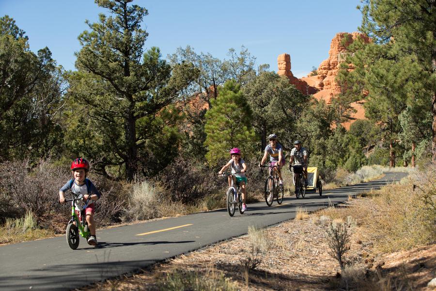
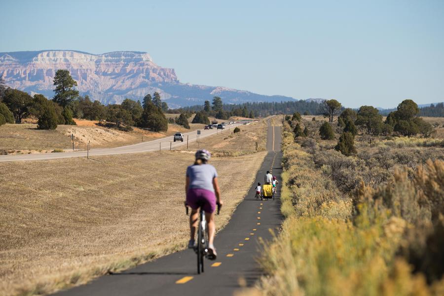
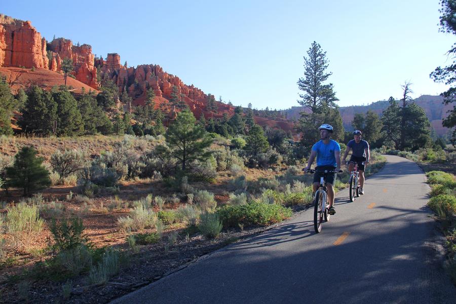
The Dixie National Forest and Utah Department of Transportation partnered to create this paved bike trail paralleling Highway 12. Bicyclists can now enjoy Red Canyon's scenery without worrying about traffic on the highway.
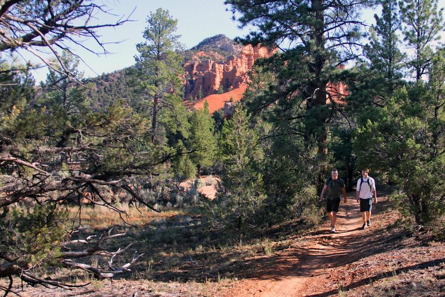
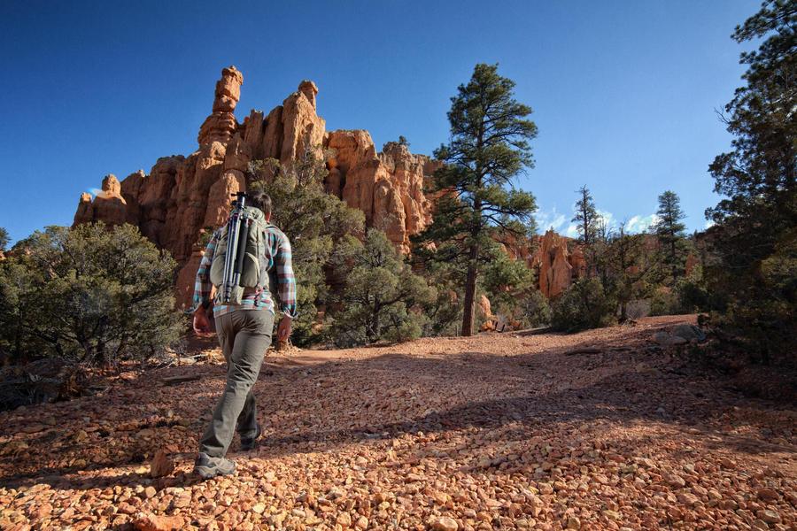
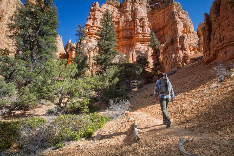
The trail traverses the entire Red Canyon corridor, winding its way through stands of ponderosa pine to its end on the Paunsaugunt Plateau.
The Red Canyon Bike Trail can be used as a connector with the Thunder Mountain Trail, making a loop totaling approximately 15 miles.
- Difficulty:
- Easy
- Length:
- 5 miles
- Time:
- 2 hours
- Usage:
- Biking, Hiking, Winter
- Special Notes:
The FS Trail Numbers of this trail are 095, 096, & 037