Fremont Trail
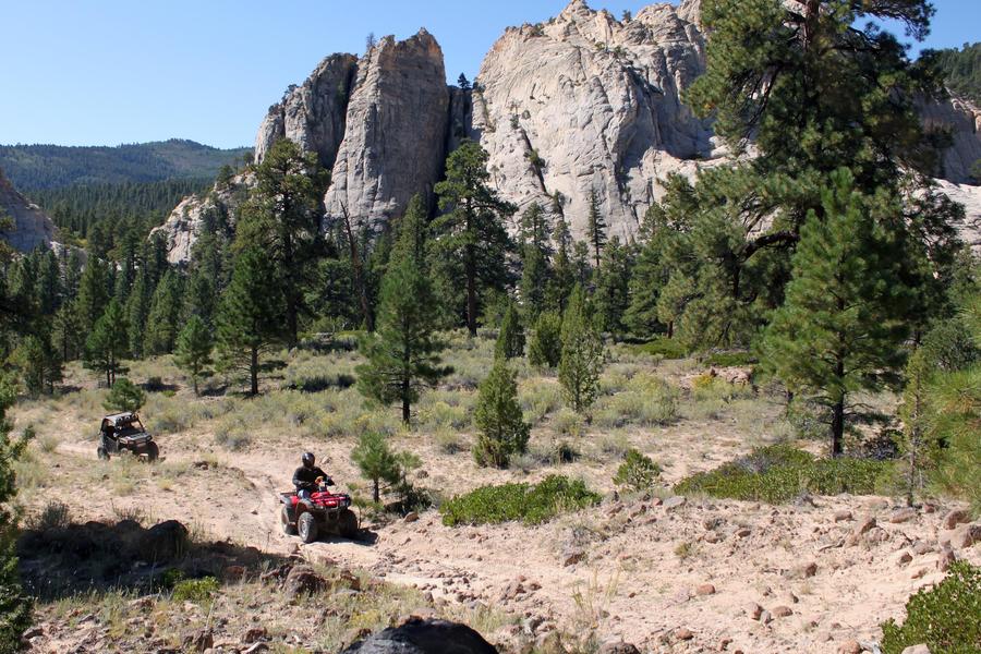

Riders can travel over 50 miles on the Fremont ATV Trail between Tropic Reservoir on the Paunsaugunt Plateau to where it connects to the Paiute Trail in Circleville, Utah. The Fremont Trail travels north from Tropic Reservoir, crossing Highway 12 at the Tom Best Road junction. This portion of the trail is also part of the Great Western OHV Trail until the Fremont Trail turns onto FS Road #30120. Although the trail is on existing roads, it gets more rugged and remote as it crosses the Limekiln, Sanford, and Smith drainages.
Along this trail you will take in spectacular views of red rock cliffs, and wind your way through ponderosa pine forests, quaking aspen stands and sage flats as you climb in and out of the canyons. Elevations range from 7880 feet at Tropic Reservoir to 9030 feet at Smith Canyon and dropping to 6080 in Circleville
- Difficulty:
- Intermediate
- Length:
- 50 miles
- Time:
- 4 hours
- Trailhead Elevation:
- 2950 feet
- Usage:
- ATV, Biking, Hiking, Horseback
- Camping Details:
- Camping and water at King Creek Campground – ATVs are allowed to ride in & out only.
- Special Notes:
The FS Trail Number of this trail is 33002