Paunsaugunt Trail
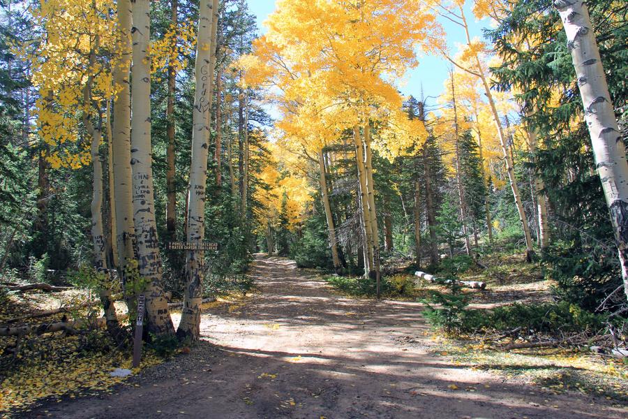

Views of the Pink Cliffs, Grand Staircase-Escalante National Monument, and the Kaibab Plateau in northern Arizona greet riders of the Paunsaugunt ATV Trail. The trail begins at Tropic Reservoir and consists of several loops, allowing the ride to range from 20-75 miles. The main loop winds south along existing roads and the Great Western OHV Trail to Crawford Pass in Kane County, then turns west before the Great Western OHV portion drops off of the Paunsaugunt Plateau. The Paunsaugunt Trail follows the cliffs of the plateau looking out towards Arizona and the Grand Canyon. As the trail turns back north, it continues to along the plateau's edge, allowing views west to the Markagunt Plateau and Cedar Mountain.
The larger loop of the Paunsaugunt Trail is completed by traveling to the Badger Creek Junction, which will go east back to Tropic Reservoir. This loop traverses approximately 70 miles. Shorter loops can be made by connecting to Clay Springs, the Left Fork of Blubber Creek, or Skunk Creek. The trail passes through meadows, canyons, and forests of pine, fir, and spruce. Elevations range from 7880 feet at Tropic Reservoir to 9200 feet at the highest point on the trail at the head of Seiler Creek.
Sections of the Grand View Trail are co-located with the Paunsaugunt Trail on the west side of the Plateau. The Grand View is a foot, horse, and bike trail, so watch for signs that indicate where the Grand View and Paunsaugunt trails separate.
- Difficulty:
- Intermediate
- Length:
- 64.6 miles
- Time:
- 2 hours
- Trailhead Elevation:
- 1320 feet
- Usage:
- ATV, Biking, Hiking, Horseback
- Camping Details:
- Camping and water at King Creek Campground – ATVs are allowed to ride in & out only.
- Special Notes:
The FS Trail Number of this trail is 33003